
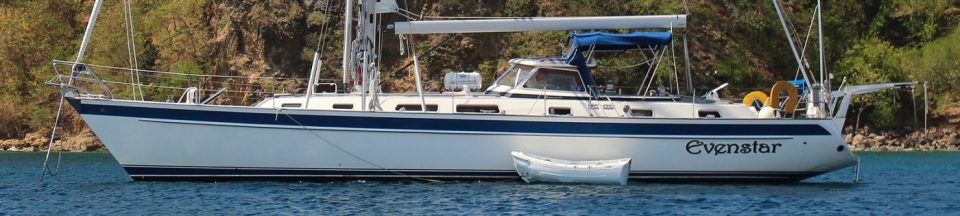
Lovely slogan, if you can do it.
In the past I’ve talked about moving around coral infested lagoons when we were in the Tuamotus. Moving in these waters you need to be able to SEE what is ahead of you. Just like the Tuamotus, Fiji has really, really lousy charts. Vast swaths of the country are open patches of water with coral heads, reefs, and tiny islands that pop out at high tide.

A screen shot of one place we are trying to go. The astute observer will note the lack of numbers and gray “Thar be Dragons” zone in the upper left corner.
Did I mention the charts are lousy? There are paper charts too, they are about as lousy as the electronic ones. If you take a look at the chart sample above you will notice a few things. First, there are very few numbers – no real depth soundings at all anywhere near the outlying islands. Secondly, for much of the chart the cartography team basically said “We give up” and didn’t even go there. Sometimes when you see an area with no depth soundings you can zoom the chart in and they will appear as a new chart for the higher resolution appears.
Nope.
And the grey part, when you zoom it in? Looks like this:

Yeah, that’s a screen capture.
Being resourceful, the cruising community has done what it can to make this better. We share things like “tracks” – the electronic log of where your boat went without landing on any reefs or sinking and known good way points and routes. I can import a track into my navigation software then convert it directly to a course I can follow, or use it as a guideline.
To make the process more terrifying sometimes the Tracks actually appear to cross land or those large green splotches, which refer to areas that are supposed to dry out at high tide. With a 4-5 foot tidal range here, we avoid those with our eight foot draft though they offer excellent snorkeling. We have traveled here in Fiji right over those awful looking green patches and still had the depth sounder returning sixty or more feet of water under them; its a special kind of feeling that really gets you ready for cocktail hour. So all the chart pictures are a little suspect.
The sun is very important in this process. On a clear sunny day with the sun over head or behind you you can see the coral patches and reefs miles away sometimes. They are obvious, you can’t miss them. You can easily see the depth of the water as it goes from deep cobalt blue to green and brown, and you can SEE rocks and coral features under you when it gets shallow. Which is both helpful and disconcerting
 On an overcast day, in the rain, or late in the day with the sun in front of you – all bets are off. The reefs and shallow patches – which generally are not on the charts – can be quite tough to spot.
So we have options. One would be to take some other cruiser’s Track, convert it into a course, and tell the autopilot to follow it exactly. The autopilot is actually pretty good at that, unless you have a lot of strong current. This can work, though I don’t care to rely completely on my instruments and the work of someone else I don’t know to get me there safely.
So you take a superabundance of caution. The basic rules are –
- Try to move between 10:00 a.m. and get where you are going no later than 4:00 p.m. Too early or too late and the sun angles are not good.
- Do your best to arrive with the sun at your back; this is quite hard to do and tough to plan ahead for.
- Use the tracks of others for guidelines, but you still must trust your eyes.
- EVERYONE helps watch when we suspect the presence of reefs or tight passages.
- When it looks really hairy we send an observer to the bow with a radio to watch for reefs and talk to the helmsman.
- Avoid traveling when rain or excessive cloud cover are in the forecast.
And speaking of the weather…the accuracy of the maps here in Fiji seems surpassed only by that of the weather forecasts. You’d hate to leave on a sunny morning, only to find out when you are two hours from your destination still the clouds have moved in, the wind has picked up and visibility has gone to the dogs. Never mind LEAVING for someplace when the conditions are like that.
Why am I whining about all this?
Well, because we’ve been trying to move for about a week now. Between a combination of poor planning, days where the weather is predicted to be rainy and cloudy but isn’t, days where it is supposed to be sunny but isn’t, and vital tools like depth sounders ceasing to function (on the best travel day all week) as we are getting ready to leave it’s just been a clown show of being stuck in one place when we could have moved several times.
Fortunately, we’re cruisers. We have time and patience and no deadlines. And there are actually a bunch of nice restaurants where we land the dinghy and a town nearby so we shall persevere in the face of this trauma.
Today’s weather summary reads “Mainly cloudy. A few peeks of sunshine possible. High 79F. Winds SSE at 10 to 20 mph.” As best we can tell that will translate to “Brilliantly sunny, Winds N 20 knots” because the forecast I see shows we shouldn’t move today at all. But out the window the skies are blue and we hope to move. Of course it looks kinda cloudy out in the direction we’re headed…

Today’s forecast. Looks sunny, right?